Forecasting Flooding in Stephenville
Improved flood forecasting can be a key part to improving community resilience to climate change.
Forecasting Flooding in Stephenville
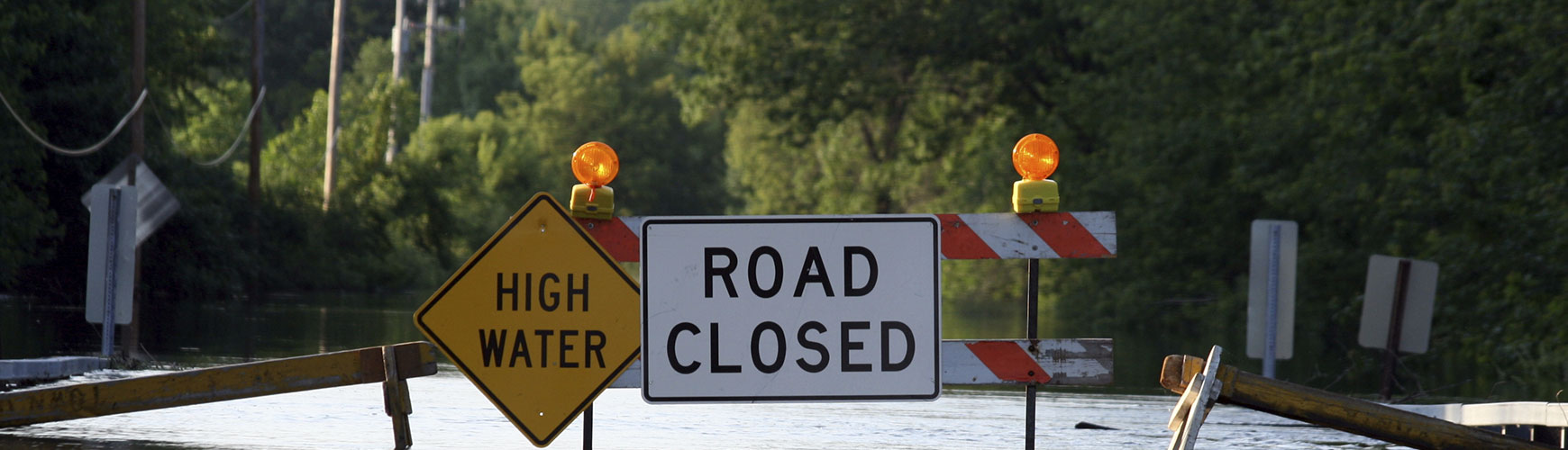
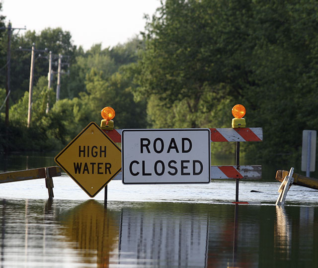
The Town of Stephenville, like many communities in Newfoundland and Labrador, has a history of flooding. The town experienced a major flood in 2005, which caused significant damage to homes, property and town infrastructure.
In response to this event, an innovative approach was taken to improve community development. Specifically, the community flood risk map was updated to ensure Town officials had the best tools to avoid or minimize the potential damage from a future flood. While these maps are typically developed using historical data, the map developers also looked to the future and incorporated climate change predictions right into the map. This was the first time such an approach was used in Newfoundland and Labrador. This approach has since been replicated in other areas of the province such as Portugal Cove-St Phillip's, and, at present, work is underway to develop and update flood risk maps for other communities.
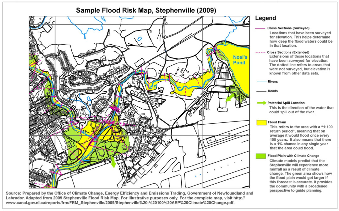
Figure 1.1 Sample Flood Risk Map
Stephenville (2009)
 View details
Source: Prepared by the Office of Climate Change, Energy Efficiency, and Emissions Trading, Government of Newfoundland and Labrador.
This tool allows the Town to see the risks of flooding based on a traditional map, but it also allows them to look towards the future and visualize the additional risks associated with climate change.
The image below is of Stephenville's flood risk map. The areas in yellow indicate the historical flood plains, while the areas in green show how flooding is expected to expand as a result of climate change.
More Case Studies
Forecasting Flooding in Stephenville
Preparing for Sea-Level Rise in Bay Bulls